After a request by local riders for ideas and options to ride. Headed out to see how Rees and road was. And if it was ok map out something.
Rees and Wing Road
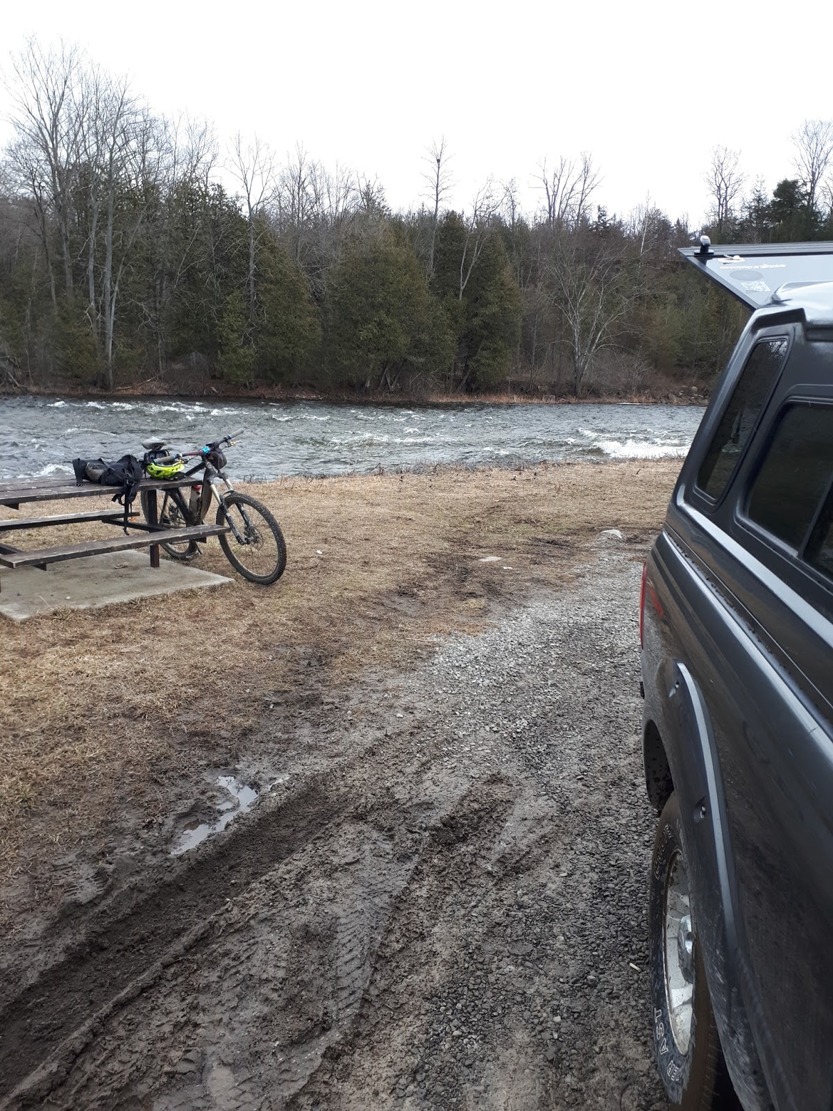
The start point is at the dead end of Rees Road where you can watch the 401 go by. Go back the way you came in and across Highway 2. You will see the sign that say Unmaintained Road this is the beginning of the fun.
Well it turns out it is a wee bit early in the year to do Rees Road as there was lots of water further in. Which made for in 3 sections some hike a bike around the water holes. Remember ATV and double track water holes and creeks may be deeper then they appear.
Usually Rees Road is better in about a month from now give or take. But good right now if your ok with a bit of mud and some hike a bike in your ride. Tip...if you ride in the wheel ruts and through the shallow puddles you end up closer to the roack underneath then riding on the high centre. Means more traction.
After mud and some hike a bike around ATV water holes you come out at the end of Rees Road and onto Wing Road. Keep gouing straight towards the distant Wind Farm. At the end of Wing Road which is Millhaven Rd. Keep going straight which is another unmaintained road. You will pass a farm house on the right. And just keep going.
If you bring you kids with you it is a chance to see one or two wind turbines up closer. There is a gravel access road further east from the road your on but that is technically for access to that only.
Later in the year when it is drier you can ride all the way to the end where the gate is before the CN Rail tracks. Can watch the trains go by if you time it right.
You will notice on your way in the OFSC mileage and direction markers. And here will see double track under the hydro lines heading east back towards Amherstview and Kingston. Yes it looks tempting.
It is actually part of another loop I mapped out 4 years ago. It does look tempting but be aware looks are deceiving. Even in the drier part of the year it is a sufferfest to ride this between the never drying mud sections and the uneven track. Plus you do have to be on the ball navigation skill wise to navigate it as no markers to refrence.
To get back to the start simply follow the same route you came out on back. Sometimes you might spot ducks in Millhaven Creek. Only seen it once though.
As you come back on Rees Rd after cross Highway 2 you can see the dead end in the distance and almost done. Get to your vehicle and that is it done.