3 weeks ago finally got around to trying to ride the Hydroline north of the 401. It has been one of those things I have been wanting to do but kept putting it off for whatever reason. And finally got around to it after many times looking at the area on Google Earth. And I have to admit that at times it can be frustrating with the lack of detail in some areas on Google.
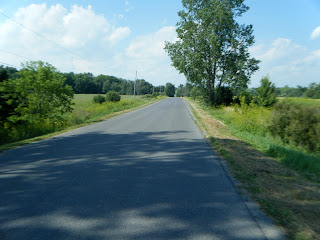
Unfortunately getting to the entrance is a bit of a road grind. But at least can cut through part of the CB trails to Westbrook Rd.
After the buzz of knobbies on tarmac it was finally up the double track under the hydro line. And in the beginning like all beginnings do they where matching up to Google Earth's view. There was a double track heading north. I was hoping to be able to ride up to Unity Rd on this bit of track as if it would work out it had the potential to create a route
Unfortunately ran into a bit of a impassable section. Impassable as it was a swamp to which I could see no way forward. And since I have yet to invest in GPS I have no idea how far up I had come. And with all the over growth this year it would be a waste of effort flailing around looking for a route.
There might be a way round this to connect it all. But I will have to wait for the fall when all this greenery dies off to get a better look at the ground. And will make the ground more visible.
So it was back the way I came. And none to soon as about 45 minutes later a storm came in incredibly fast. So the next attempt will be from up on Unity to enter this area and see if there is any options.
Friday, August 9, 2013
Subscribe to:
Comments (Atom)


