Saturday, March 28, 2020

Kingsford Salmon River Short Loop

Today before the weather changed to rain again headed back to Kingsford Conservation Area to map out the route.

Used both a GPS unit and Trailforks App on my phone to map. So both are available to refer to.


Strava,

Kingsford Salmon River Short Loop


Trailforks,

Kingsford Salmon River Short Loop


There is no corner store or gas station on this loop for anything to grab anything. And you need to be self sufficient as it is a long hoof back to Kingsford Conservation Area.


There is some traffic from the local land owners but that is it.


Once at Buttermilk Falls and turn onto Partridge Lane expect mud that currently is rideable. But if it rains it can and will change. At the end of Partridge lane it turns back to gravel .


Meach Rd is gravel and some faint climbs on the way back to Deseronto Road. Once you turn right onto Deseronto Rd you will have the big downhill. Just remember the bridge you see right after that is the left turn so be careful of your speed.


And depending on the weather you can sit by the Salmon River and post ride relax before heading back. There is potential to add more to this in the future either north or south. However that will take time and be a future project. But for now this is a starting point.


Rees and Wing Rd Out and Back

After a request by local riders for ideas and options to ride. Headed out to see how Rees and  road was. And if it was ok map out something.

Rees and Wing Road

The start point is at the dead end of Rees Road where you can watch the 401 go by. Go back the way you came in and across Highway 2. You will see the sign that say Unmaintained Road this is the beginning of the fun.


Well it turns out it is a wee bit early in the year to do Rees Road as there was lots of water further in. Which made for in 3 sections some hike a bike around the water holes. Remember ATV  and double track water holes and creeks may be deeper then they appear.


Usually Rees Road is better in about a month from now give or take. But good right now if your ok with a bit of mud and some hike a bike in your ride. Tip...if you ride in the wheel ruts and through the shallow puddles you end up closer to the roack underneath then riding on the high centre. Means more traction.


After mud and some hike a bike around ATV water holes you come out at the end of Rees Road and onto Wing Road. Keep gouing straight towards the distant Wind Farm. At the end of Wing Road which is Millhaven Rd. Keep going straight which is another unmaintained road. You will pass a farm house on the right. And just keep going.


If you bring you kids with you it is a chance to see one or two wind turbines up closer. There is a gravel access road further east from the road your on but that is technically for access to that only.


Later in the year when it is drier you can ride all the way to the end where the gate is before the CN Rail tracks. Can watch the trains go by if you time it right.


You will notice on your way in the OFSC mileage and direction markers. And here will see double track under the hydro lines heading east back towards Amherstview and Kingston. Yes it looks tempting.


It is actually part of another loop I mapped out 4 years ago. It does look tempting but be aware looks are deceiving. Even in the drier part of the year it is a sufferfest to ride this between the never drying mud sections and the uneven track. Plus you do have to be on the ball navigation skill wise to navigate it as no markers to refrence.


To get back to the start simply follow the same route you came out on back. Sometimes you might spot ducks in Millhaven Creek. Only seen it once though.


As you come back on Rees Rd after cross Highway 2 you can see the dead end in the distance and almost done. Get to your vehicle and that is it done.


Salmon River Gravel Explore

On March 24th after looking at some maps at Google Maps Satellite view as well as a couple of recce visits. Went down to Kingsford Conservation Area to ride some gravel with no one around.

Salmon River Gravel Explore


The start and end point I was using was the Kingsford Conservation Area along the Salmon River. Once there went and backed the truck into a lesser used spot and got ready to roll.


Since this was more of an explore to get an idea of what could be a loop set out with no hurry and no expectations. Plus was expecting mud in some areas.


And part way through found there was still snow around. Plus some ice in a lake.


Got to see the Buttermilk Falls. And then took the unmaintained road aka Partridge Lane.


Lots of mud and water. Then after 23.92km was back at the Dirtbag Ute. Hungry and starting to get a little chilly.


With the ride done I figured in my head that there was about a 20km loop possible.  And would come back in the future to get that mapped and GPS'd. So time for cookies, Dr Pepper and the drive home.


Friday, November 22, 2019

I Fucked Up and I Knew Better

So...yesterday during the two hour ride realize I fucked up. I know better about riding in remote areas in Ontario that if run out of water drinking from lakes and such unfiltered is a bad idea. This isn't the mountains of BC with mountain fed creeks of safer water to access. The chances of beaver fever is higher and not a thing I want.


I had two water filters in the truck and didn't bring one of them. I was being dumb and potentially setting myself up for a bad day if it had been hotter and had ridden longer.. I will be making an effort to have one with me in remote areas and avoid this mistake.

Thursday, November 21, 2019

Kamamiskeg Lake MTB Trails

The last week of August had another opportunity to visit Combermere and Kamamiskeg Lake area of Ontario. It was the side benefit of helping a friend out. A few days before checking Trailforks and noticed some new developments as someone else had been up riding.

Kamamiskeg lake MTB Trails


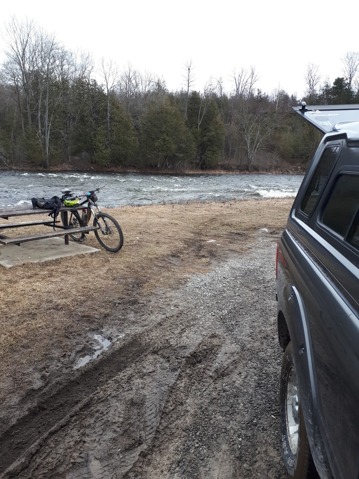
This boded well as something new and less exploration was needed aka blindly wandering around figuring it all out.. And would be fun in it's own way. There wasn't a designated spot for parking so tucked the Dirtbag Ute into a spot beside the entrance to the waste transfer site.


And off to explore it was and with zero expectation other than a wander in the woods going out via Southern Wolf. And to find at least to me new and interesting things. Like a hunting camp with a late 80's beer banner on the side of the cabin.


From there it was more doubletrack till got to Wolf Lake. Could have continued past Wolf Lake to connect to Northern Wolf but it would have involved a portage over a muddy wet Beaver Dam. So kept to the trails south of Wolf Lake.


Back tracked a bit on Southern Wolf to the intersection with Bernacki Beaver Fever. Turned left and took that for more double track. Again while nothing to cause concern just kept it at a say 6-7 on the RPE scale.  After a bit Bernacki Beaver Fever connected to Broke Shield.


Went left down Broken Shield heading roughly South East towards Kamamiskeg lake. About 355m  from River Road  took the short Logging Camp trail to River Road. At River Road turned right and rode the road till the entrance to Broken Shield.


While it is ATV or double track Broken Shield had enough rock to make it a bit of a challenge. And at one point arrived at the view point. Where I could look back roughly towards my friends parents cottage. After the usual view point shot of Rum headed down the rest of Broken Shield.


Which eventually came out overlooking the sand pit and former landfill.  And thanks to the ATV crowd there was a downhill line like the one's from Kranked back in the late 1990's. Sure not even 5% of what was in film but as the Brits say...use what you got.


So dropped the saddle and took a run. Sliding a bit on the way down and avoided head dabbing it when I got to the loose sand. Since I nailed it decided to get a few pics on a run or two more just for fun.


Did it three more times and nailed it all three times. Had a smile and happy. But knew it was time to pack it in for the day as had drunk my water and was hot as I baked in the sun. Headed out to the Dirtbag Ute.


Riding back while it was a good day was kind of wishing I had my old Chromag Stylus that was stolen. Over thinking had me thinking how great it was on the Chromag Wideangle. I kind of wanted to have had the Stylus knowing it was the full bore play bike. But alas this was also the last trip as this day was also the day my friend's parents cottage changed hands to someone else's ownership.


On this day when back at the Dirtbag Ute glad I had the little portable shower to rinse all the salt and stuff off my head and arms. Definitely happy to have that on adventures. After loading up it was back to my friend's parents cottage to do the final ever loading and drive away.

Kamamiskeg Lake Ride

I do admit I made a glaring error in judgement. I didn't put in my Pinch Flat Designs waist pack the Lifestraw I had. It was a mistake madeby someone who knows better. While it seems insignificant I only had a water bottle. And while it was a short ride if had needed water sooner one can't drink from creeks here like in the mountains. It was a mistake I made.


Tuesday, October 1, 2019

Hoares Road Combermere

This is a quad track I found during a August trip to Combermere though I suspect it may have been an old skidder road. Well parts of it may have been a skidder road.  But in keeping with trying to find things to ride and after looking at maps and Google Earth Satellite view I thought there had to be a way to ride it.

Hoares Rd Super Enduro DH

Reality is that the Combermere area doesn't have really any mountain bike trails. Pretty much all there is ATV track. And like the Brits do you have to make do.


Not a lot can be said to describe the track as it is ATV track that sees little maintenance.  If you decide to descend from Hoares Rd you have to do a grunt with a lot of kike to get back to the top. Or if you park down on Lakeshore do the grunt up you can bomb it down. However if you can plan it it would be a doable track to do shuttle runs.


 The trail was fun though it had me thinking that maybe needed to go 27.5x2.6 tire in the rear and a 27.5x2.8 in the front. But it wasn't a deal breaker as I know that if had more time would have gotten better at it from more runs on the track.


It also had me missing the old Stylus I had from 2007. I think this would have been fun on that as well.  Maybe one day in the future can return.


In the end after a hot sweaty grunt back up was happy as had found a new track in Combermere which is a bonus. And in the end would return later in the year to get a second run at it. Wooo. Now to begin the waiting to acquire another Chromag Stylus hopefully by December.